Raleigh Durham International Airport (RDU)
Orientation and Maps
(Raleigh, North Carolina (NC), USA)
Part of the prestigious Research Triangle, the city of Raleigh stands in the southeastern corner of the Triangle. The other two cities that make up the Research Triangle together with Raleigh are nearby Chapel Hill and Durham. The three cities are all well connected, being linked by many regular buses operated by the Triangle Transit Authority.
The cities comprising the Research Triangle are all close to the Raleigh Durham International Airport (RDU), an important air hub located on the northwestern side of Raleigh's downtown district. Various buses are available at the airport and from the city of Raleigh, Amtrak trains stop at West Cabarrus Street and link Savannah, Washington DC and a host of other top destinations.
Raleigh Durham International Airport (RDU) Maps: Important City Districts
The city's lively downtown district is separated into two main regions by the Fayetteville St. Mall, and the imposing State Capitol building, situated on the northern side. A map of Raleigh's popular self-guided walking tour is available at the Capital Area Visitors Center, which can be found on North Blount Street and is open Monday through Sunday.
Further useful tourist information is also available at the central Convention and Visitors Bureau, within the Fayetteville St. Mall. Whilst the downtown district is relatively compact and easy to walk around, the Raleigh Trolley is another popular way to travel around this part of the city, appealing to both local and tourists alike.
Those looking for history and a slice of the past are advised to head to the Historic Oakwood District. Famous throughout Raleigh for its listed buildings, many of the houses in this part of the city date back to the latter part of the 19th century.
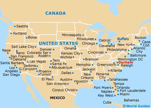
USA Map
North Carolina Map
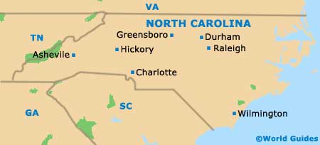
Raleigh Map


